Librarian

Contact Us
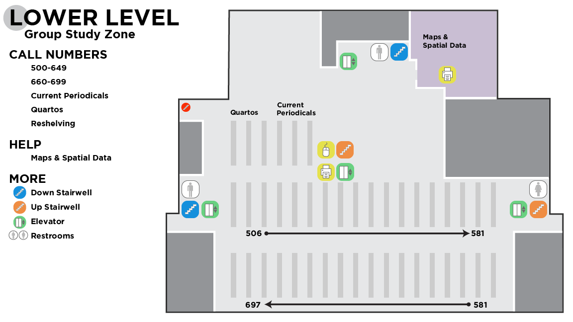
McCasland Maps and Spatial Data maintains a collection of over 150,000 sheet maps, 100,000 aerial photographs, and hundreds of atlases. Our collections focus on Oklahoma, but we also have many maps and atlases covering neighboring states, the United States, and the world. More than 10,000 historical maps of Oklahoma are included in the Oklahoma Digital Maps Collection. We also provide workshops, consultations, and software related to Geographic Information Systems (GIS).

Search the Oklahoma Digital Maps Collection
You can browse the collection from its home page, or enter your search below.
In addition to our collections, we offer the following services:
- One on one consultation for questions about mapping or other visualization techniques
- Workshops, both regularly scheduled and on-demand, embedded in-class and standalone
- Help finding data
- Classroom visits to work with our collections
- Anything else mapping related
GIS Help Desk
| Semester Hours (subject to change) | Hours |
|---|---|
|
Mon - Fri |
8:00am to 5:00pm |
|
Weekends, Holidays |
Closed |
Location
McCasland Maps and Spatial Data is located in the lower level of the Edmon Low Library on the north side.

Scheduling and Contact Information
Telephone: 405 744-9731
Email: lib-map@okstate.edu
Mailing Address:
Maps and Spatial Data
001A Library
Oklahoma State University
Stillwater, OK 74078-1071